Riparian Restoration
Purpose
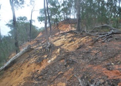
Significant flood events across the Burnett-Mary region in 2011 resulted in wide-spread riparian erosion and stream bank degradation. The Burnett Mary Region Group (BMRG) acquired funds from the federal government to rectify a number of sites across the region.
A total of 13 sites were identified by the BMRG across an approximate area of 50,000 km2, located from Baffle Creek in the north, to Ridgewood in the south and Mundubbera in the west. AWC undertook a rapid riparian restoration assessment, concept rectification designs and costings for all 13 sites.
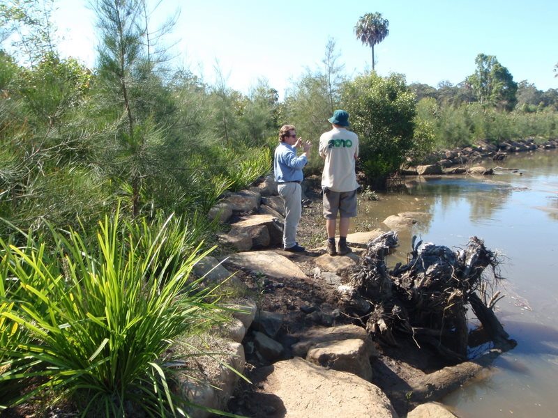
A selection panel chose 5 out of the 13 site to be funded, upon which AWC prepared detailed design drawings and worked with landholders and contractors to complete the works by mid-October 2011. Works included weeding, planting, the installation of coir logs for streambank stability, scour protection works and erosion preventation ‘plunge pools’.
Objectives
- Achieve 5 ha of riparian restoration
- Engage local contractors to complete on-ground works
- Completion by October 2011
Partners & Stakeholders
- Burnett Mary Regional Group
Outcomes
- 5 sites, 8 ha of riparian restoration
Project Facts
Project Value: $110,000
Challenges: 3 month time frame from project inception through to project completion


