
ICOLL Management – Belongil Estuary
Catchment Analysis | Treatment Technology | Stakeholder Engagement | Site Investigation | Feasibility Study
Purpose
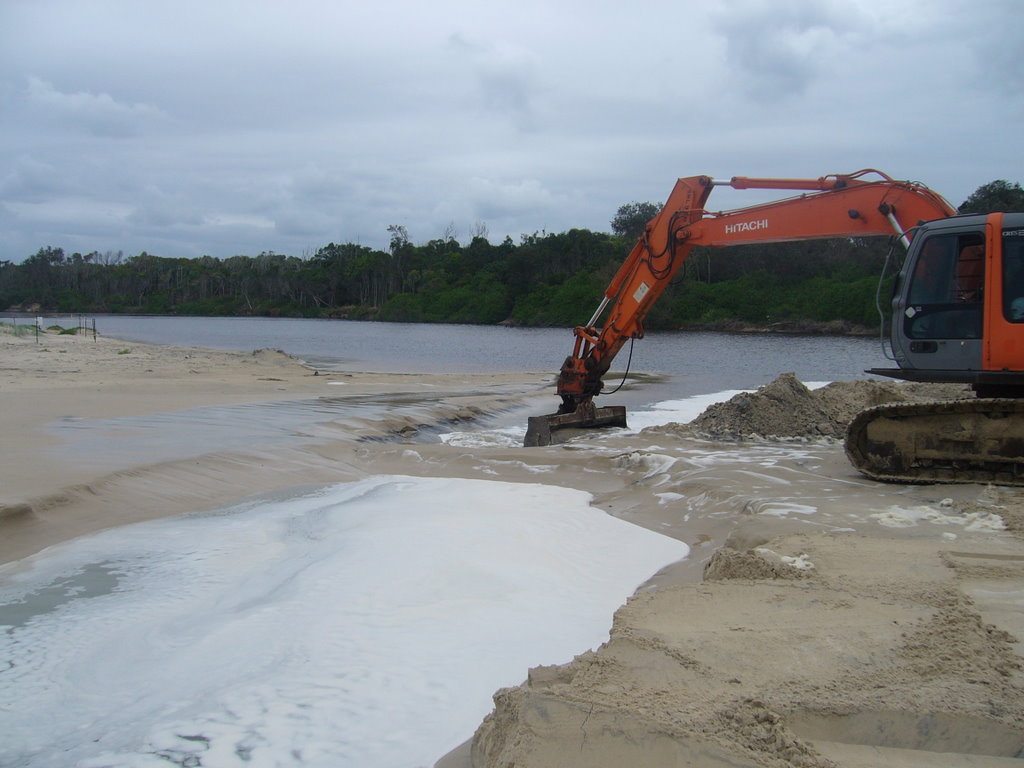
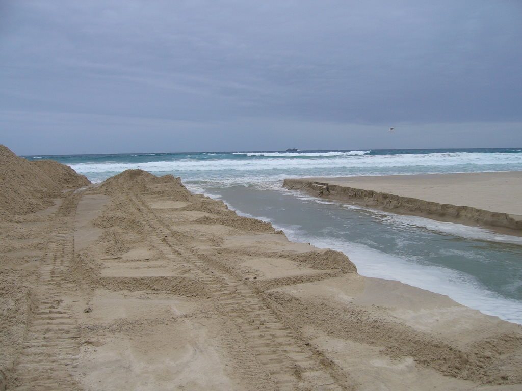
The Belongil Estuary is located on the western edge of the Byron Bay township, Northern NSW. Along with the associated artificial drainage network, Belongil Creek forms the main pathway for flood waters within the urban, industrial and agricultural landscapes on the Belongil floodplain. The Belongil Estuary is a ICOLL that requires periodic artificial opening by Byron Shire Council when flood levels reach a predefined level – under licence from the NSW Department of Lands.
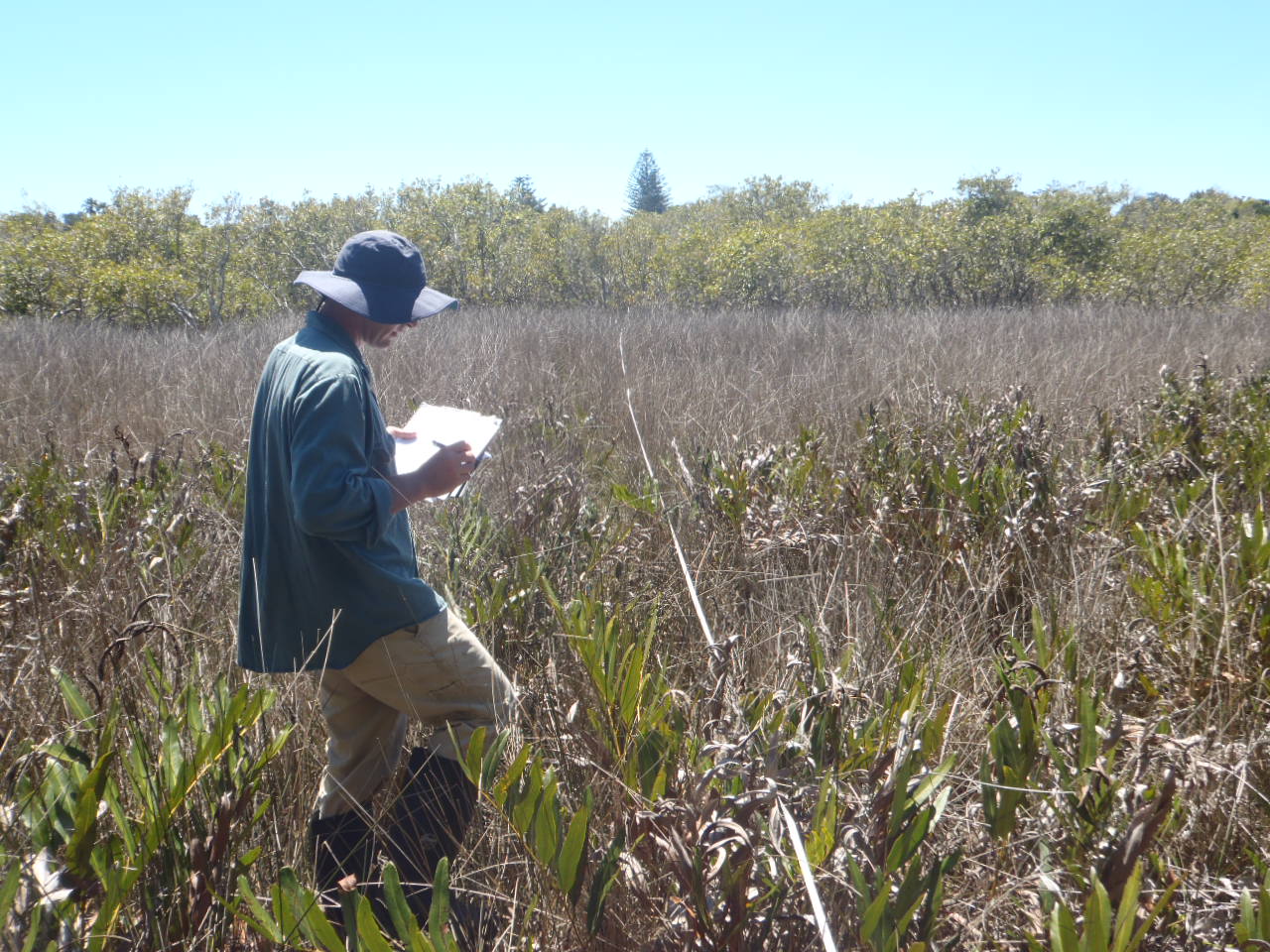
AWC have been monitoring the effect of artificial opening events on estuary and drain water quality and nearby wetland vegetation since 2008. Since 2008 AWC have increased the scale of environmental monitoring of the opening events to include 5 monitoring sites over 7 days post opening and installed conductivity and water level loggers throughout the catchment to better understand the mechanisms behind the ‘need’ to artificially open the sand barrier between the Belongil Estuary and the ocean.
Objectives
- Ensure the effective flood mitigation of Byron Bay township without compromise to the health of the estuary
- Alert Council as to the likelyhood of fish kills following an artifical openning event
Partners Stakeholders
- Byron Shire Council
Project Facts
Project Value: $20,000 over 18 months
Challenges: Rapid monitoring response required over a prolonged period of time.